The Robotics & Autonomous Systems research unit has a vocation to make its results maximally available and provides to this extent on this page a series of datasets that are a result of ongoing and previous research projects. We hope that these datasets can help and inpire other scientists to extend the state of the art.
Deep learning-based vessel re-identification
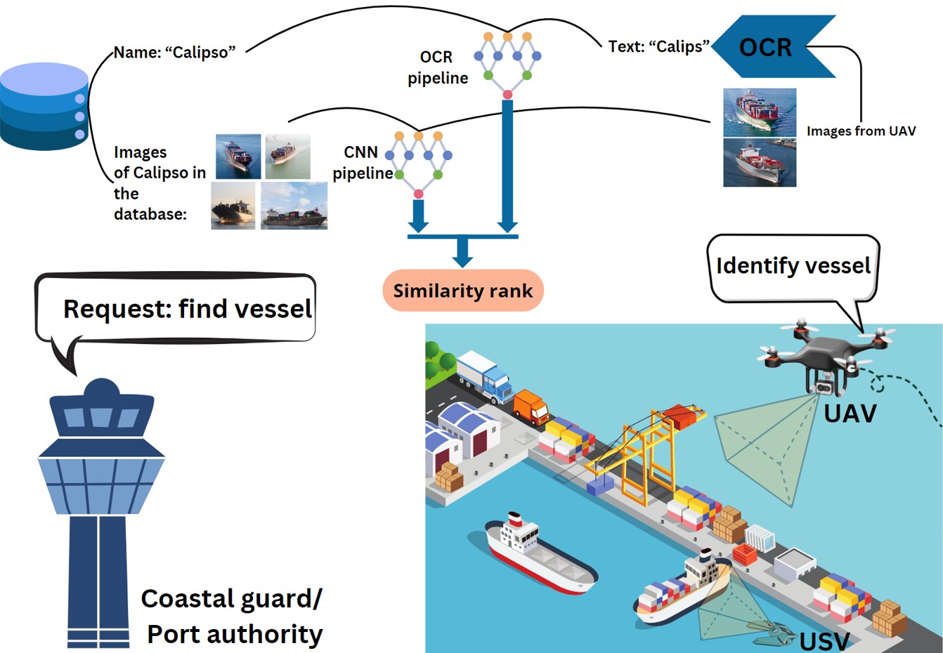
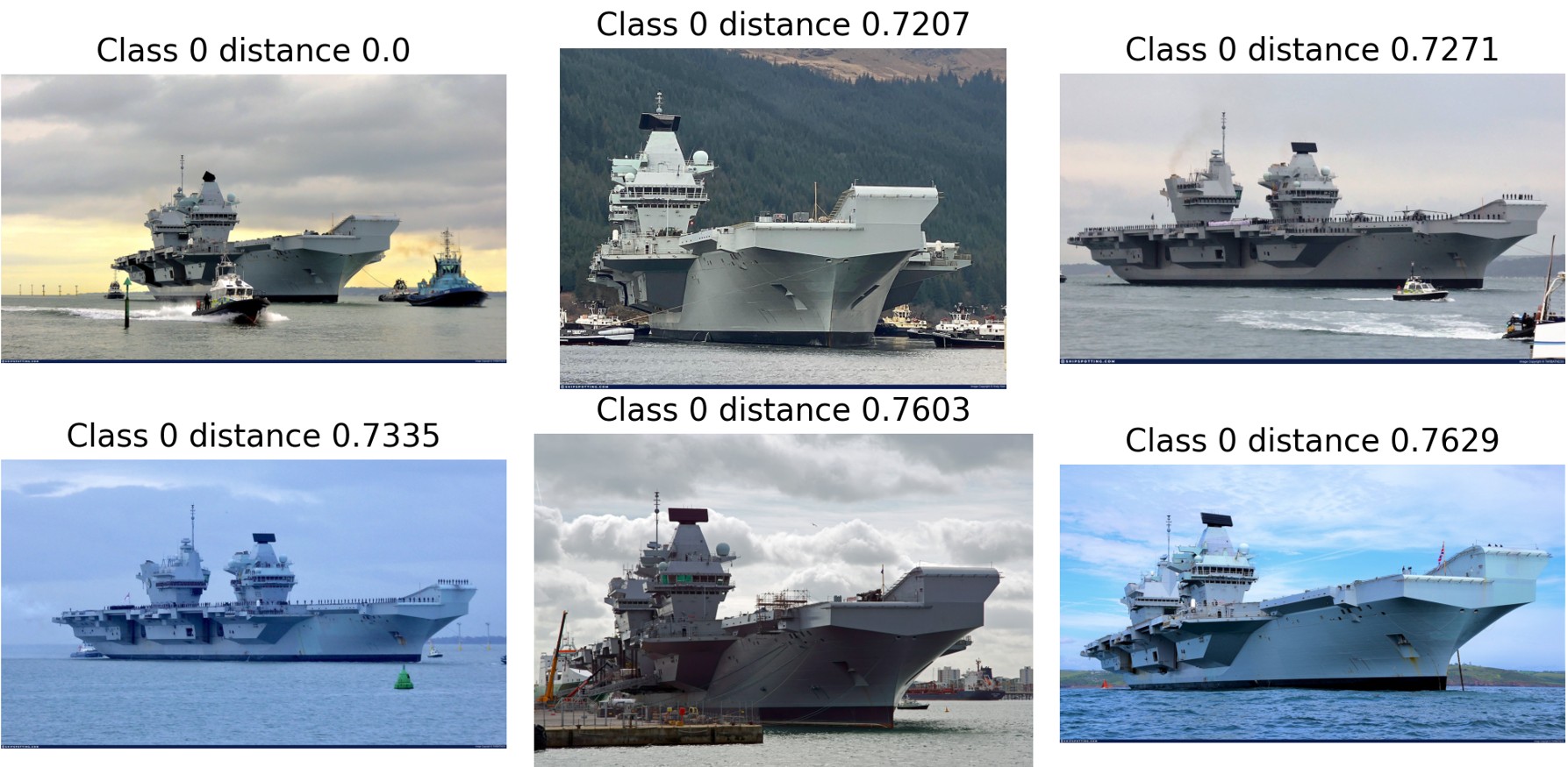
Description
This dataset contains all the data and source code for our paper: “Maritime surveillance using unmanned vehicles: deep learning-based vessel re-identification" by Yoni Geers, Tim Willems, Cornelia Nita, Tien-Thanh Nguyen, and Jan Aelterman. This dataset is designed to advance research in automatic target vessel re-identification from RGB imagery captured by unmanned vehicles. It combines visual appearance and textual data for enhanced accuracy.
This dataset was originally developed within the MarLand project.
Download link
This dataset is curated by Tien Thanh Nguyen. It can be accessed via this link.
Credit
Please cite this paper if you use this dataset:
Yoni Geers, Tim Willems, Cornelia Nita, Tien-Thanh Nguyen, and Jan Aelterman “Maritime surveillance using unmanned vehicles: deep learning-based vessel re-identification", Proc. SPIE 13206, Artificial Intelligence for Security and Defence Applications II, 1320607 (13 November 2024); https://doi.org/10.1117/12.3028805
Visual UAV navigation
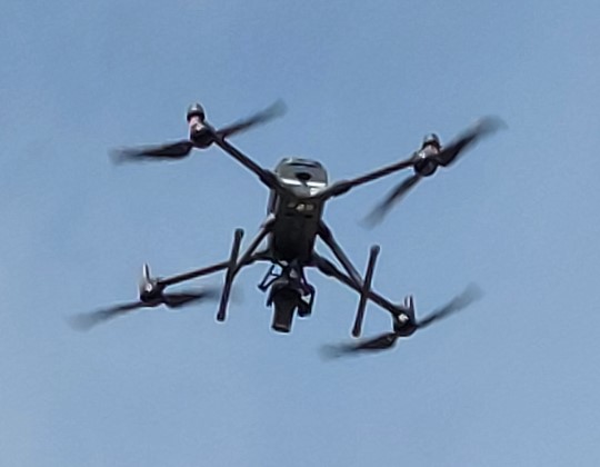
Description
This dataset contains all the data and source code for the IMEKO ACTA paper: “Visual-based Localization Methods for Unmanned Aerial Vehicles in Landing Operation on Maritime Vessel".
This dataset was originally developed within the MarLand project.
Download link
This dataset is curated by Tien Thanh Nguyen. It can be downloaded by clicking on this link
Credit
Please cite this paper if you use this dataset:
T. Nguyen, C. Hamesse, T. Dutrannois, T. Halleux, G. De Cubber, R. Haelterman, and B. Janssens, “Visual-based Localization Methods for Unmanned Aerial Vehicles in Landing Operation on Maritime Vessel," Acta IMEKO, vol. 13, iss. 4, p. 1–13, 2024, http://dx.doi.org/10.21014/actaimeko.v13i4.1575.
Maritime object classification dataset
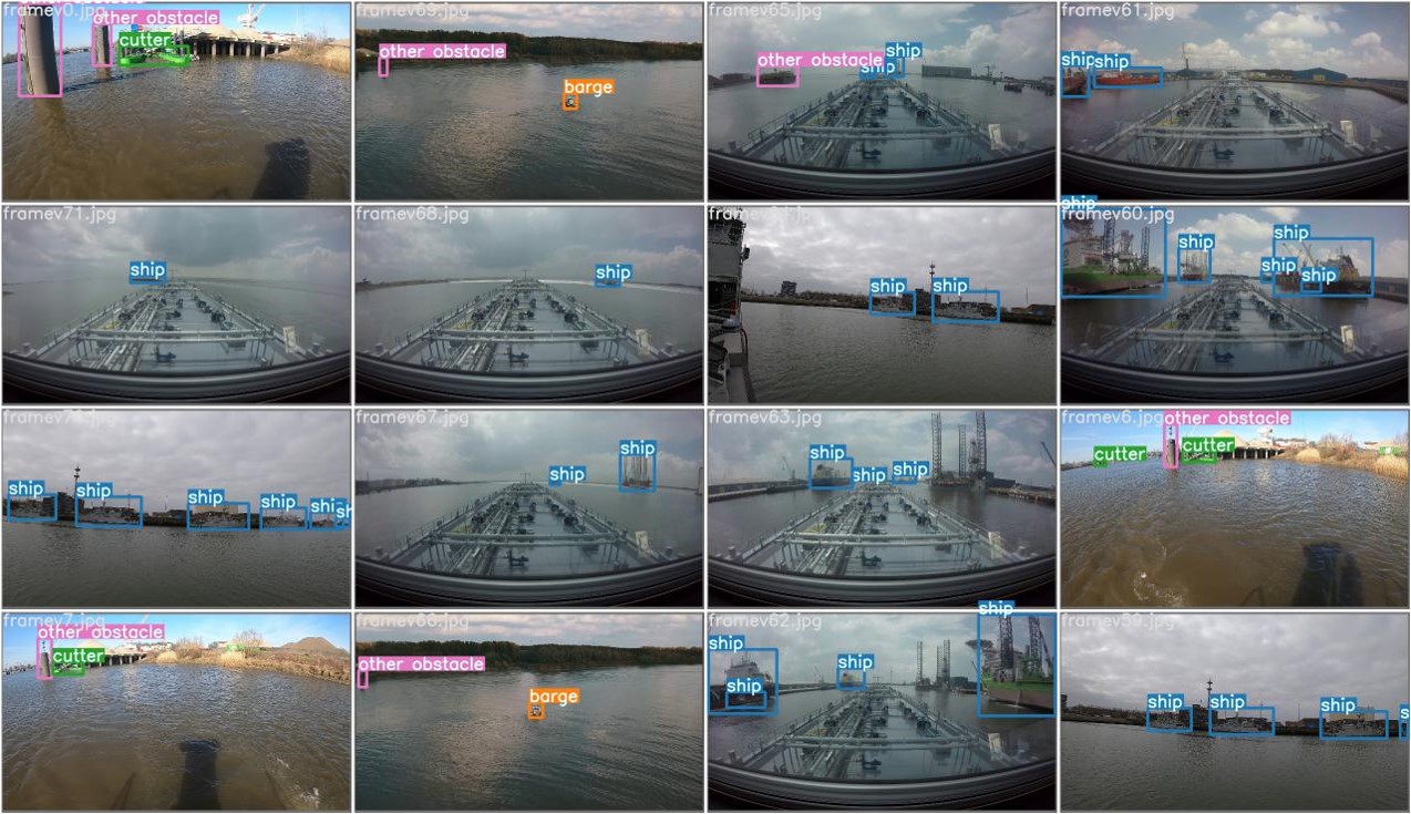
Description
This dataset consists of a series of annotated images taken on board ships sailing through inland waterways It is meant to be used for the development and validation of AI algorithms for the automatic classification of objects (ships / buoys / markers / … ) that are of interest for (autonomous) ship navigation.
This dataset was originally developed within the VLAIO-SSAVE project.
Download link
This dataset is curated by Dr. Rihab Lahouli. It can be downloaded by clicking on this link (warning 651 MB download)
Credit
Please cite this paper if you use this dataset:
Lahouli, R.; De Cubber, G.; Pairet, B.; Hamesse, C.; Fréville, T. and Haelterman, R. (2022). Deep Learning based Object Detection and Tracking for Maritime Situational Awareness. In Proceedings of the 17th International Joint Conference on Computer Vision, Imaging and Computer Graphics Theory and Applications – Volume 4: VISAPP, ISBN 978-989-758-555-5, pages 643-650. DOI: 10.5220/0010901000003124
Drones versus birds dataset
Description
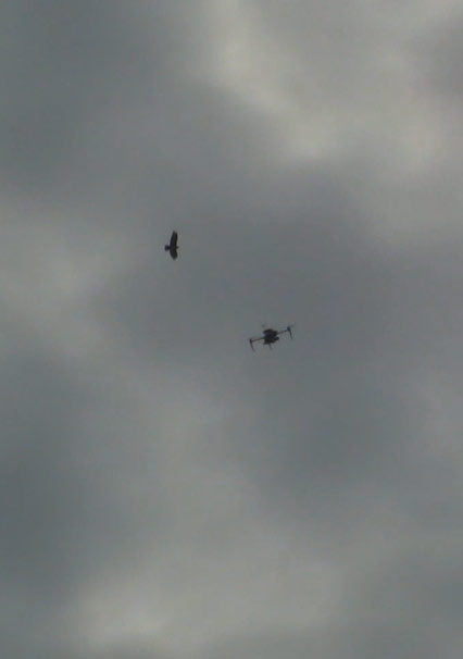
This dataset consists of a series of annotated videos where drones and birds are present. It is meant to be used as a dataset for the development and validation of AI algorithms for the automatic classification between drones and birds.
This dataset was originally developed within the H2020-SafeShore project and has later been extended with data from other research projects and research institutes.
Download link
This dataset is curated by prof. Coluccia from the University of Salento and is available upon signing a data usage agreement. Details can be found here.
Credit
Please cite this paper if you use this dataset:
Angelo Coluccia, Marian Ghenescu, Tomas Piatrik, Geert De Cubber, Arne Schumann, Lars Sommer, Johannes Klatte, Tobias Schuchert, Juergen Beyerer, Mohammad Farhadi, Ruhallah Amandi, Cemal Aker, Sinan Kalkan, Muhammad Saqib, Nabin Sharma, Sultan Daud, Michael Blumenstein, Drone-vs-Bird detection challenge at IEEE AVSS2017, 14th IEEE International Conference on Advanced Video and Signal Based Surveillance (AVSS 2017), Lecce, Italy, August 2017
